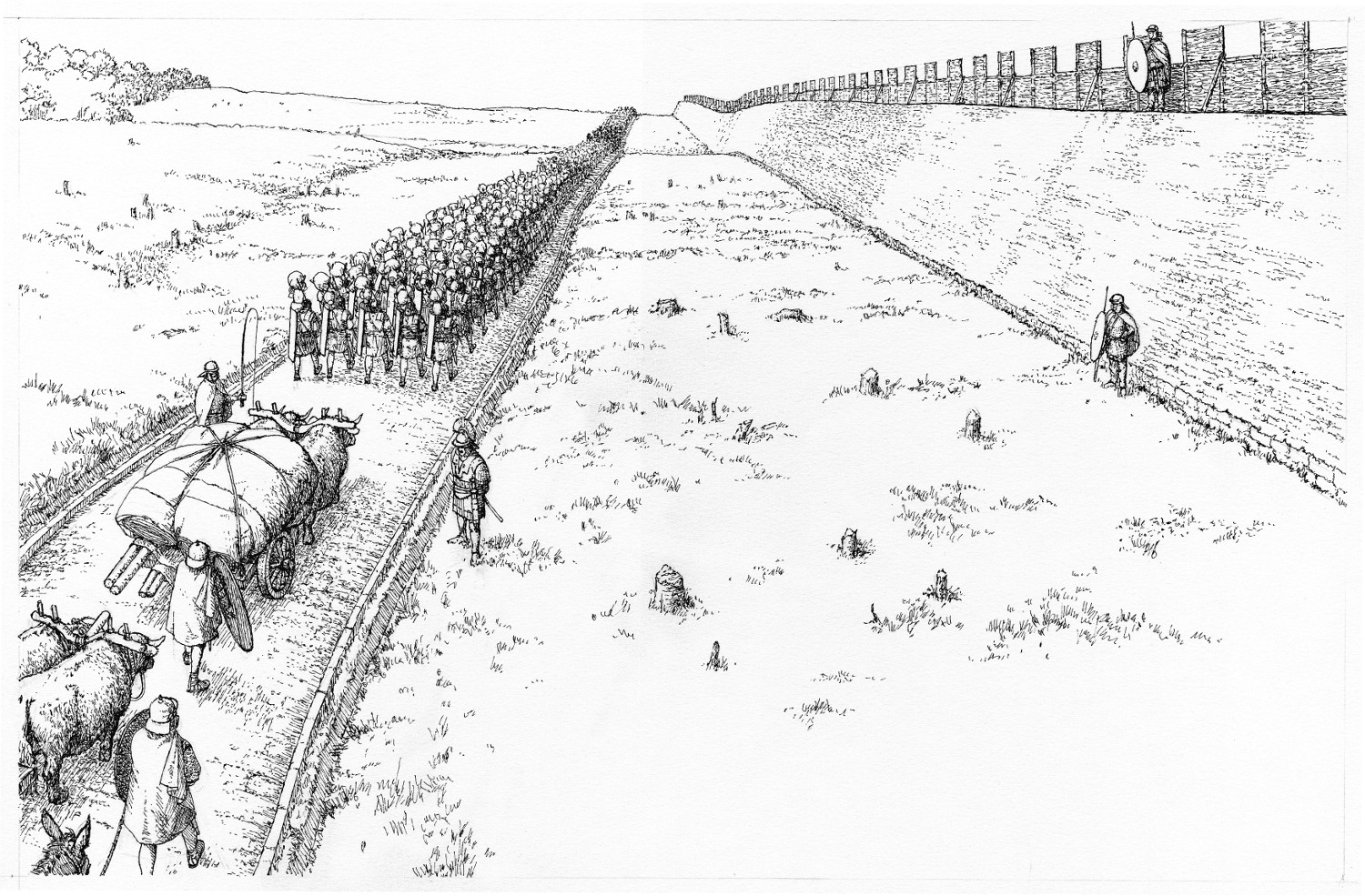
A reconstruction drawing of the Antonine Wall and Military Way in use (c) Crown Copyright Historic Environment Scotland
From the towpath it's possible to walk along stretches of the Roman Empire's Antonine Wall. It is one of only five World Heritage Sites in Scotland and a lasting marker within our landscape of the power and reach of the Roman Empire. It ran for over 60 km from Bo'ness on the River Forth to Old Kilpatrick on the River Clyde. It is one of only three barriers that the Romans left along their entire borders and is the most northerly and most complex frontier they ever built.
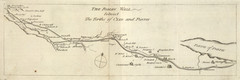
 More Images
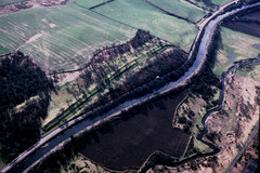
Location